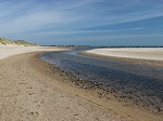
Goswick Sands, Northumberland.
Goswick Sands on the North Northumberland Coast is a vast stretch of beach at low tide that really has to be visited to appreciate the scale of the place.
The beach was once used as a weapons range during the second world war and warning signs are in place about the possibility of unexploaded bombs. In 2005 two 500 pound bombs were found and exploded by the RAF.
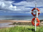
If you visit this beach you really should check the tide times carefully - we would not advise walking here when the tide is coming in as the sands are very flat and can be quickly covered in the same way as the Holy Island causway which is at the south end of the sands.
Access is from the Holy Island causeway road or from a road that ends at Goswick. Alternatively it can be reached by walking south from Cheswick Sands
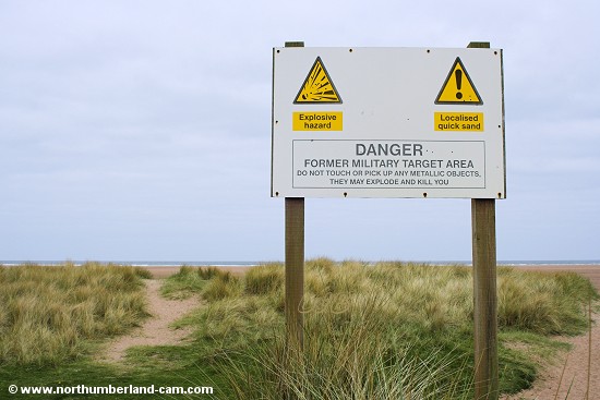
Warning sign at Goswick Sands.
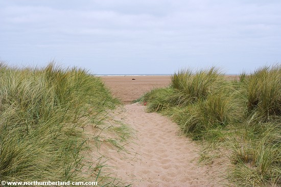
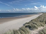
View through the dunes to the beach.
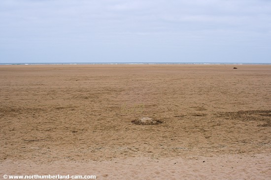
View to the sea from the dunes - it is a long way away.
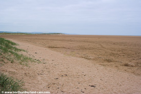
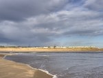
View north along the beach from the dunes.
View south along the beach from the dunes.
The north end of Holy Island can just be seen.
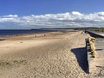
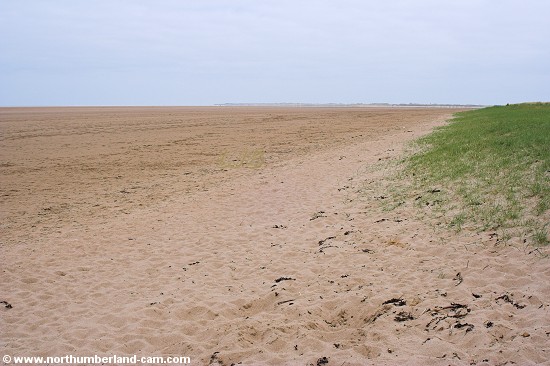
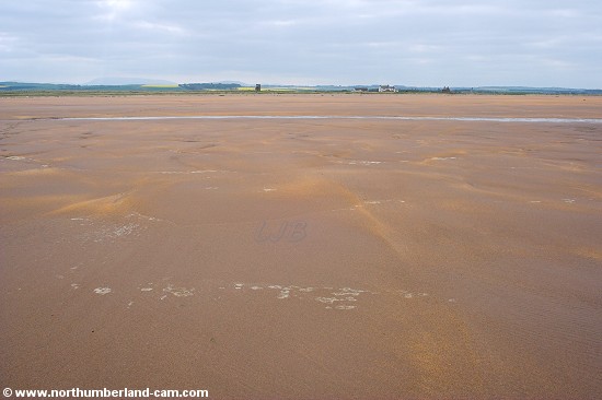
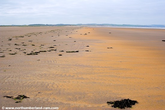
View north along the sands.
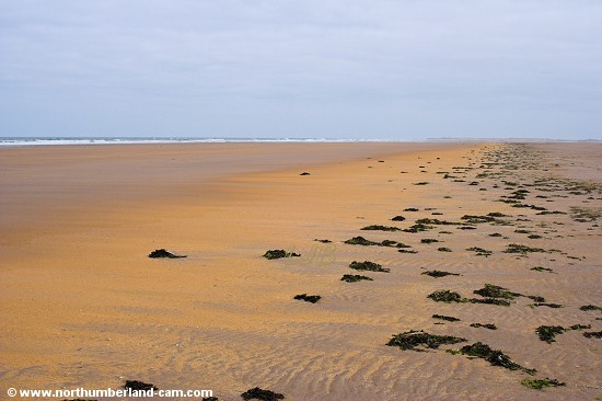
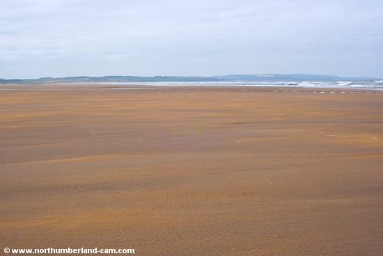
Near the low tide mark the sands turn to a vivid orange colour.
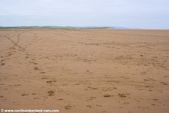
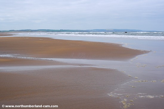
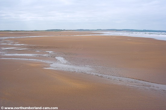
This view looks south to Holy Island.
At this point the sand look as smooth as a giant sheet of sandpaper.
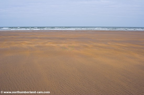
Almost at the water's edge - not a place to get caught out when the tide turns.
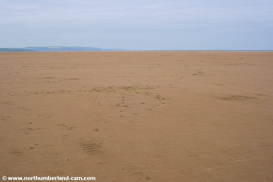
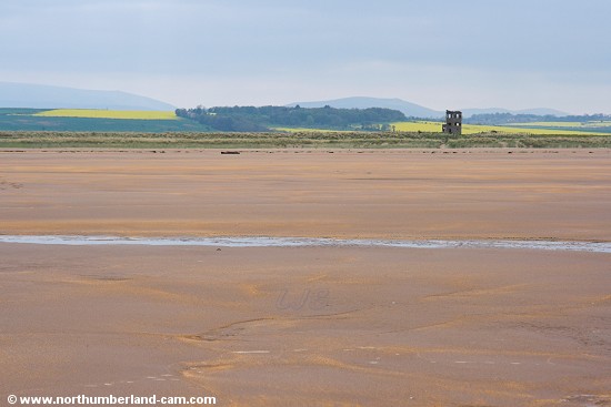
View north towards Berwick.
The yellow field just visible in the distance is on the northern outskirts of Berwick.
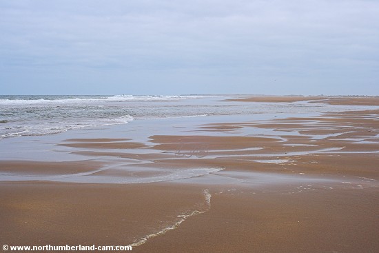
Foam on the sands at the water's edge.
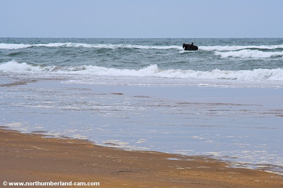
An object resembling the Trojan Horse (depending on your imagination) in the sea.
View from the water's edge back to the shoreline and dunes.
The same view shortened with a zoom lens.
In the distance are the Cheviot Hills.
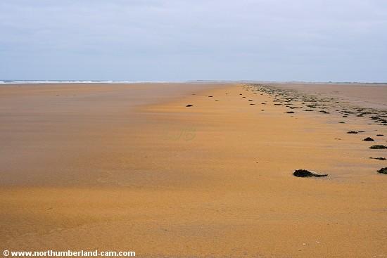
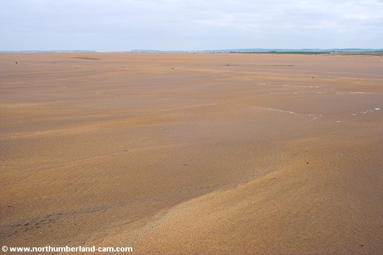
Another view north along the sands.
View south.
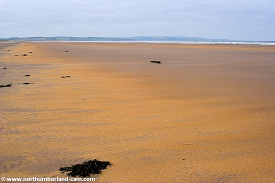
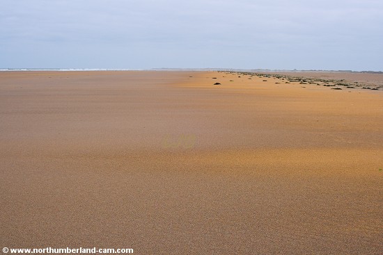
View north along the orange sands.
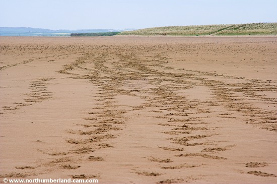
From a distance these look like vehicle tracks.
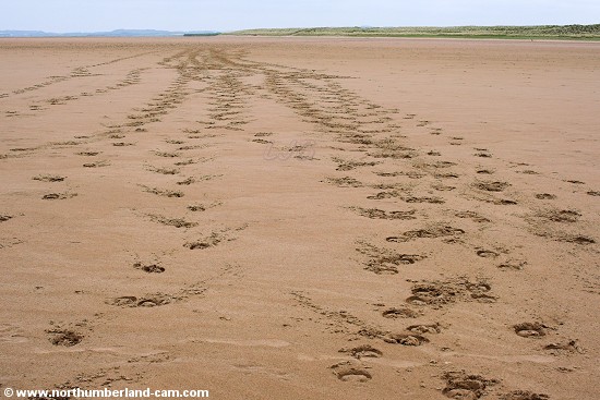
Closer inspection reveals they were made by galloping horses.
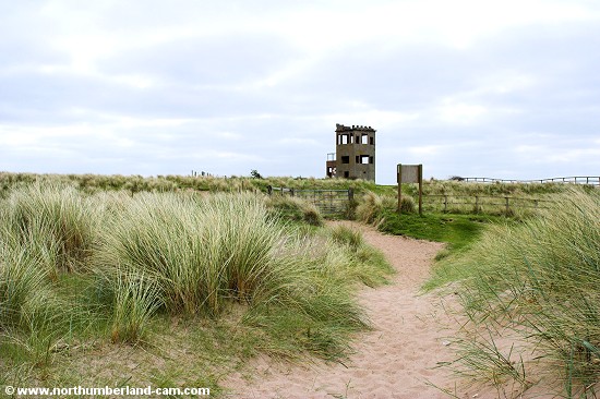
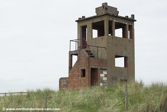
Derelict lookout tower in the dunes.
© Copyright - All photos on this website are subject to copyright and may not be reproduced on any website or in print without prior permission. To use any photo please use the enquiry form at les-bell.com
|